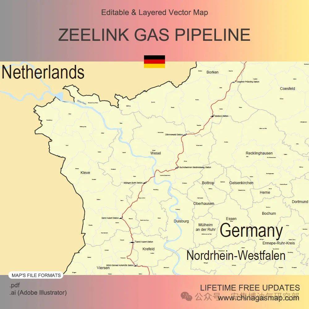
The map contains the 216km DN1000 Zeelink Gas Pipeline, which runs from the Lichtenbusch interconnection point on the Germany-Belgium border to the Legden Compressor Station in Borken, Nordrhein-Westfalen.
️Table of Descriptions
1 Product Details
2 Files Included in This Digital Map
3 Editability of Map
4 Related Upstream/Downstream Pipelines
️1 Product Details
aspcms.cnNote: This digital map is NOT a GIS map or don’t contain coordinate data.
️2 Files Included in This Digital Map
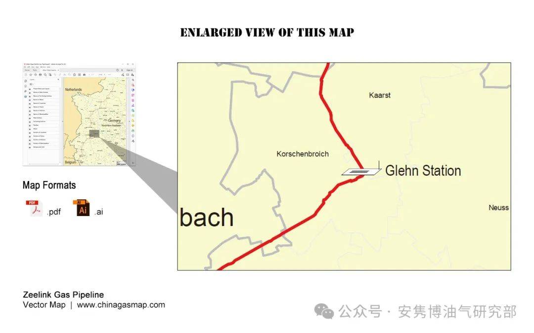
️[Main Map] ️Map of Zeelink Gas Pipeline
This map includes the geographical area from the pipeline’s starting point to its end point. Its content contains the pipeline route, stations along the pipeline, and the administrative regions that the pipeline passes through.
Two file formats, .pdf and .ai (Adobe Illustrator), are included. Both of them are editable and layered. Users can show and hide a layer simply with a mouse click.
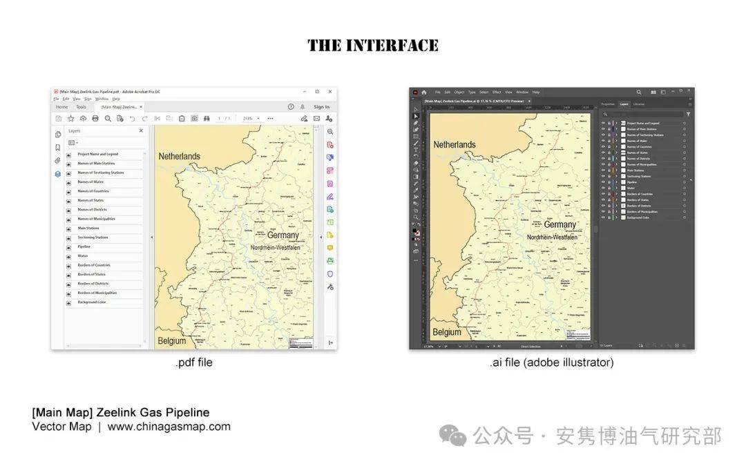
The map consists of following independent layers:
️3 Editability of Map:
Based on the layered digital map (.pdf and .ai), users can perform further development and modifications, including but not limited to:
️4 Related Upstream/Downstream Pipelines:
We also provide digital maps of following direct upstream/downstream pipelines.
️Interconnection Pipelines (Bidirectional):
Trans Europa Naturgas Pipeline (TENP)